
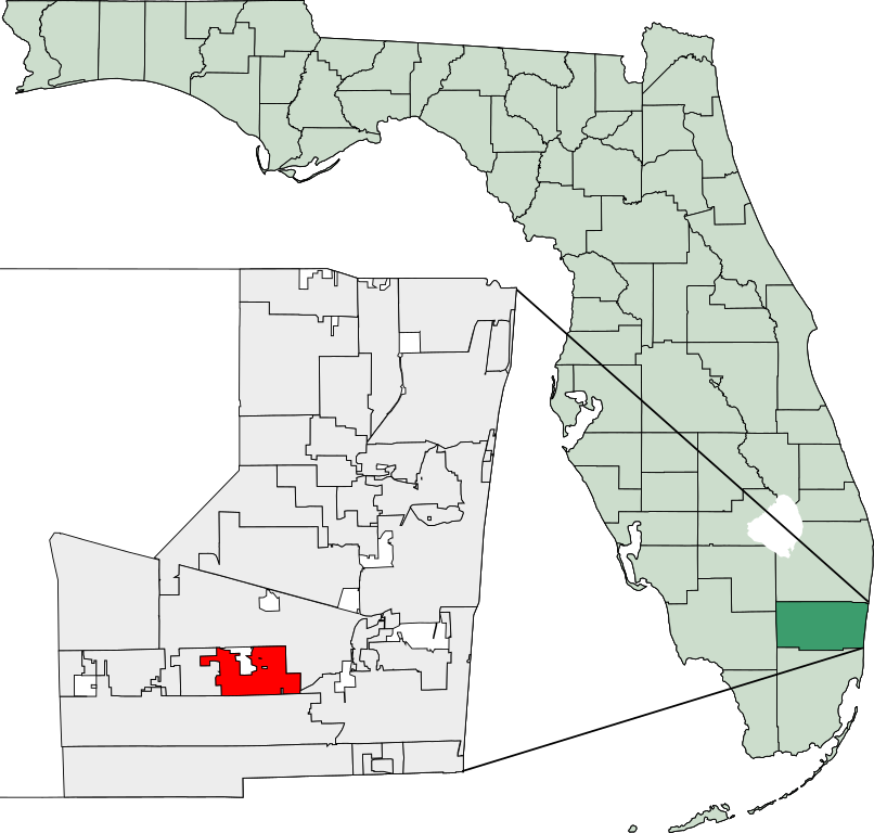
File:Map of Florida highlighting Cooper City.svg

Size of this PNG preview of this SVG file: 450 × 429 pixels. Other resolutions: 252 × 240 pixels | 504 × 480 pixels | 806 × 768 pixels | 1,074 × 1,024 pixels | 2,148 × 2,048 pixels.
Original file (SVG file, nominally 450 × 429 pixels, file size: 1.16 MB)
| This is a file from the Wikimedia Commons. Information from its description page there is shown below. Commons is a freely licensed media file repository. You can help. |
26°2′41″N 80°17′22″W / 26.04472°N 80.28944°W
Created using coordinate data from US Census Bureau, modified in accordance with incorporation data from 2000-2005 in Adobe Illustrator.

|
Permission is granted to copy, distribute and/or modify this document under the terms of the GNU Free Documentation License, Version 1.2 or any later version published by the Free Software Foundation; with no Invariant Sections, no Front-Cover Texts, and no Back-Cover Texts. A copy of the license is included in the section entitled GNU Free Documentation License. |
| This file is licensed under the Creative Commons Attribution-Share Alike 3.0 Unported license. | ||
| ||
| This licensing tag was added to this file as part of the GFDL licensing update. |
File history
Click on a date/time to view the file as it appeared at that time.
| Date/Time | Thumbnail | Dimensions | User | Comment | |
|---|---|---|---|---|---|
| current | 14:11, 8 March 2007 | | 450 × 429 (1.16 MB) | Bastique | |
| 14:01, 8 March 2007 |  | 450 × 429 (1.16 MB) | Bastique | {{coor dms|26|2|41|N|80|17|22|W}} Created using coordinate data from US Census Bureau, modified in accordance with incorporation data from 2000-2005 in Adobe Illustrator. {{GDFL}} [[Category:Maps of Broward County, F |
File usage
The following pages on the English Wikipedia use this file (pages on other projects are not listed):
Global file usage
The following other wikis use this file:
- Usage on ar.chped.com
- Usage on arz.chped.com
- Usage on azb.chped.com
- Usage on ca.chped.com
- Usage on ceb.chped.com
- Usage on cy.chped.com
- Usage on eu.chped.com
- Usage on fa.chped.com
- Usage on fr.chped.com
- Usage on ht.chped.com
- Usage on it.chped.com
- Usage on mdf.chped.com
- Usage on no.chped.com
- Usage on sh.chped.com
- Usage on sr.chped.com
- Usage on tr.chped.com
- Usage on tt.chped.com
- Usage on ur.chped.com
- Usage on vo.chped.com
- Usage on www.wikidata.org
- Usage on zh-min-nan.chped.com